Lake Tahoe Wildflower Hikes

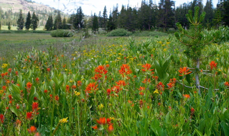
Wildflowers in the Tahoe Basin provide a colorful feast for the eyes. You don’t have to be a botanist or an extreme adventurer to enjoy the local flora. Wildflower hikes can be short or long hikes, and something the whole family can do together.
Here are few favorite wildflower walkabouts from the staff at Barton Health and the Tahoe Rim Trail Association.
This article originally appeared in Barton’s Health and Life, and is reprinted by permission.
Big Meadow
At the Big Meadow Trailhead, head south and across the highway towards Big Meadow. Approximately 1 ½ miles into a steeper walk, you will find a large meadow covered in wildflowers. To stretch your legs some more, continue hiking to Round Lake (6.5 miles) and then up to Dardanelles Lake (8 miles).

Directions: From Meyers, follow Highway 89 south towards Luther Pass. As the road climbs and just before the Luther Pass sign, turn left into Big Meadow Parking Area.
Galena Waterfall and Mount Rose
This hike has it all: a waterfall, vistas, and wildflowers. As you head to Galena Falls, the wildflowers take over within the first mile. Follow the trail and the flowers for another 1 ½ miles until you reach the Falls. Loop back on a maintenance road (5 miles) or peak seekers can summit Mount Rose (10 miles).
Directions: From US 50, take Nevada State Route 28 through Incline Village. Turn right on Country Club Drive, go two miles, and make a right on Nevada State Route 431/Mount Rose Highway. Drive 4 miles to the top of the mountain and a big meadow. Parking is on the left side.
Winnemucca Lake and Meiss Meadows
Wildflower hunting is a spectator sport at Winnemucca Lake (4 miles). The rich volcanic soil feeds blankets of alpine blooms. Smaller children will delight in a stroll to Frog Lake in the first mile, and ambitious hikers can make the climb beyond Winnemucca Lake to Round Top Lake and Fourth of July Lake (8 miles).
For a quieter retreat, use the Meiss Lake trailhead on the north side of Carson Pass. There are many pockets of wildflowers between Meiss Meadows and Showers Lake (10 miles). Stop at the Meiss family cabin where there can be a colorful wildflower display.
Directions: Carson Pass stretches across California Highway 88, approximately 30 miles southwest of South Lake Tahoe. From South Lake Tahoe, go south on California Highway 89 to the “T” at Highway 88. Take Highway 88 West. Both trailheads are located at Carson Pass and have a user fee.
Lake Forest Beach
On the north shore, Lake Forest Beach attracts buttercups, lupines, and photographers. This small spot along the shore is one of the best places to snap a photo of Lake Tahoe with summer blossoms.
Directions: In Tahoe City, follow directions to Skylandia State Park, and take Bristlecone Street all the way to the end. Park on the road.
Tips for wildflower pursuits
- Bring a Field Guide and a Camera. You don’t have to be an expert, but identifying these colorful treasures can make the experience more memorable.
- Timing. The optimal time to catch a glimpse of wildflowers at higher elevations is between mid-July and mid-August.
- Where to Look. Find wildflowers in a variety of places - in the rocks, on the ground, on logs, and in marshy areas. Some alpine wildflowers require a magnifying glass to properly observe, while others may be up to three feet tall.
- Look, But Don’t Take. Keeping the wildflowers in their habitat is good Leave No Trace ethic, and also leaves them for others to enjoy – including the bumblebees and butterflies!
Note: All hikes described are between 6,000 and 10,000 feet above sea level. Make sure you have a map, water, and plenty of snacks. Assess the weather forecast before hiking and bring layers. If not specified, mileage described is round- trip, in and back, but loops and other routes may be available.
Stay on the trail and happy hiking!